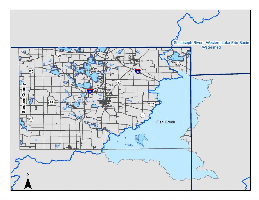
The Fish Creek Watershed is located in the eastern portion of the county and makes up the headwaters for a two-state, three-county watershed. Fish Creek is the third largest of the four watersheds that comprise the Upper St. Joseph River Watershed, at over 78,710.50 acres. Within Steuben County, it accounts for approximately 63 miles of the county’s drainage.
The main channel begins in the east central portion of the county and drains south flowing into DeKalb County, east of Hamilton. It continues to drain into the St. Joseph River, which flows through Fort Wayne, Indiana, and outlets into Lake Erie, through the Maumee River.
Upper St. Joseph Watershed Management Plan
Total Maximum Daily Load A Total Maximum Daily Load (TMDL) plan was completed for the Upper St. Joseph Watershed.
The Total Maximum Daily Load (TMDL) Program primary purpose is to assess streams, rivers and lakes that are considered impaired by the Indiana Department of Environmental Management and develop reports that identify the causes of the impairment, the reductions of pollutants needed, and the actions needed to improve water quality. Impaired waters do not meet designated water quality standards and do not support one or more designated uses, such as recreational, protection of aquatic life, drinking water, and fish consumption. Section 303(d) of the Clean Water Act established authority for the TMDL Program and guides states on how to develop these plans for waters that do not meet water quality standards.
For more information about the Indiana 303(d) list visit the IDEM 303(d) web page.
TMDLs for the St. Joseph River Watershed are established for E. coli and will address six impairments. Some of the recommended solutions to address the impairments include storm water controls, point source controls, manure management and habitat improvements.
